Every day, cities collect and process huge amounts of digital data. When properly used, they improve decision-making and service delivery. It is therefore necessary to ensure their security and privacy. The role of local government is to take actions to support initiatives that ensure better use, transparency and management of data in order to even better design solutions that improve the quality of life in cities.
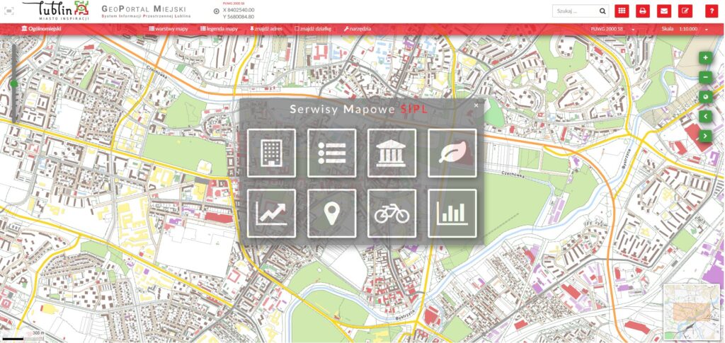
City Geoportal – Lublin Spatial Information System
The City Geoportal is an interactive city map used to obtain, process and share geodetic, geographic and information data. The application starts with the start page with information about the rules of using the geoportal. Here we declare our legal status. Then you can choose one of the websites that you want to use at the beginning. Each website has a different set of data, e.g. city map, spatial planning, bicycle map, tourist map. In the layers tab, you can find various map backgrounds (e.g. orthophotos) and information data. Identification of objects on the map is done by clicking on a point, you can also quickly find a plot of land or an address using the appropriate buttons, and calculate the route length or area. There is also a possibility to print a map composed by you together with the settings of additional parameters.
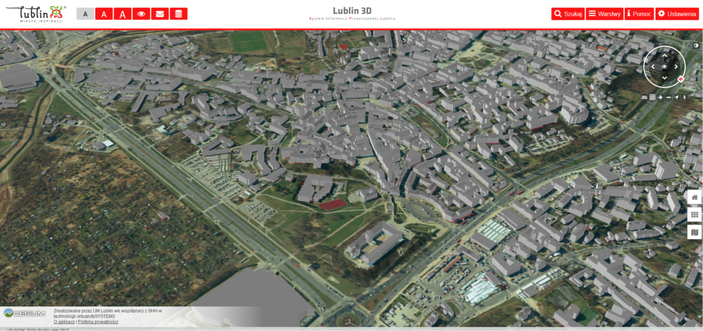
Lublin3D – Spatial Information System
Lublin 3D
Lublin 3D is an interactive map of Lublin extending the functionality of the Geoportal with additional information presented thanks to the “third dimension”. It makes it easier to understand space, show the results of complex analyzes, and conduct discussions on topics that require interactive presentation. It allows you to download data in software formats dedicated to handling 3D files – thus facilitating the work of designers as well as students and students. It is a database of information (not counting data from the City Geoportal) on the height of buildings, obscuration, shadow analysis, cross-sections through the area. It is also a pre-design tool – visualizing conceptual development or designed objects. The functionalities are complemented by the combination of many data sources such as a cloud of points from aerial scanning, mesh 3D model or terrain models fully carved according to height measurements.
Lublin 3D, as a developing application, is focused on interaction with the inhabitants of Lublin. Any comments and comments are welcome.